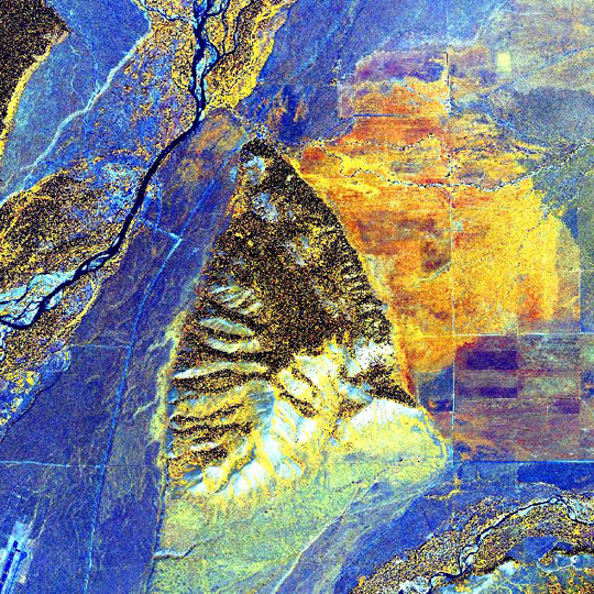
Clandestine surveillance…prospecting for gold…monitoring natural disasters. These are only a few of the ways the rapidly evolving field of remote sensing is used. Simply put, remote sensing is the observation of an object or phenomenon from a distance. With 62,147,200 acres in Wyoming, land management agencies are increasingly looking to remote sensing as a linchpin in inventorying vast swaths of lands. By examining unique electromagnetic signatures in imagery collected by satellite and aircraft, analysts can potentially replace expensive and time consuming ground-based data gathering efforts.The Conservation Research Center is on its way to meeting this demand. This past fall, I enrolled in a course for graduate credit entitled Remote Sensing Image Analysis and Applications through Penn State University’s World Campus. The opportunity was made possible by the Wyoming Workforce Development Training Fund Program. This first step towards a certificate in Geospatial Intelligence involved 10 weeks of coursework culminating in a final project that sought to leverage remotely sensed data to confront contemporary challenges in geospatial analysis. Of 25 classmates, over 90% were members of the defense or intelligence communities. Unsurprisingly, my final project: Hybrid Classification of Vegetation on Private Lands in Teton County, WY was unique to the class.Based on my analysis, I concluded that Teton County was limited by the availability of suitable data. Without the acquisition of better imagery, a ground survey effort would be necessary to deliver the accuracy of data Teton County wants.After completing the course, I converted my final report into an application to compete in the 2012 ERDAS IMAGINE-DigitalGlobe Geospatial Challenge. DigitalGlobe operates a fleet of the most advanced commercial satellites in orbit. My submission was accepted and I was granted access to $3,500 worth of free imagery in Grand Teton National Park. Now I just have to win.